Contours
Contour refers to a line on a map that connects points of equal elevation. These lines help represent the shape and elevation of the terrain.
-
Contour lines show hills, valleys, and slopes.
-
Close lines indicate steep terrain; widely spaced lines suggest gentle slopes.
-
Used in topographic maps to visualize landforms.
Filters
Filters
1 product
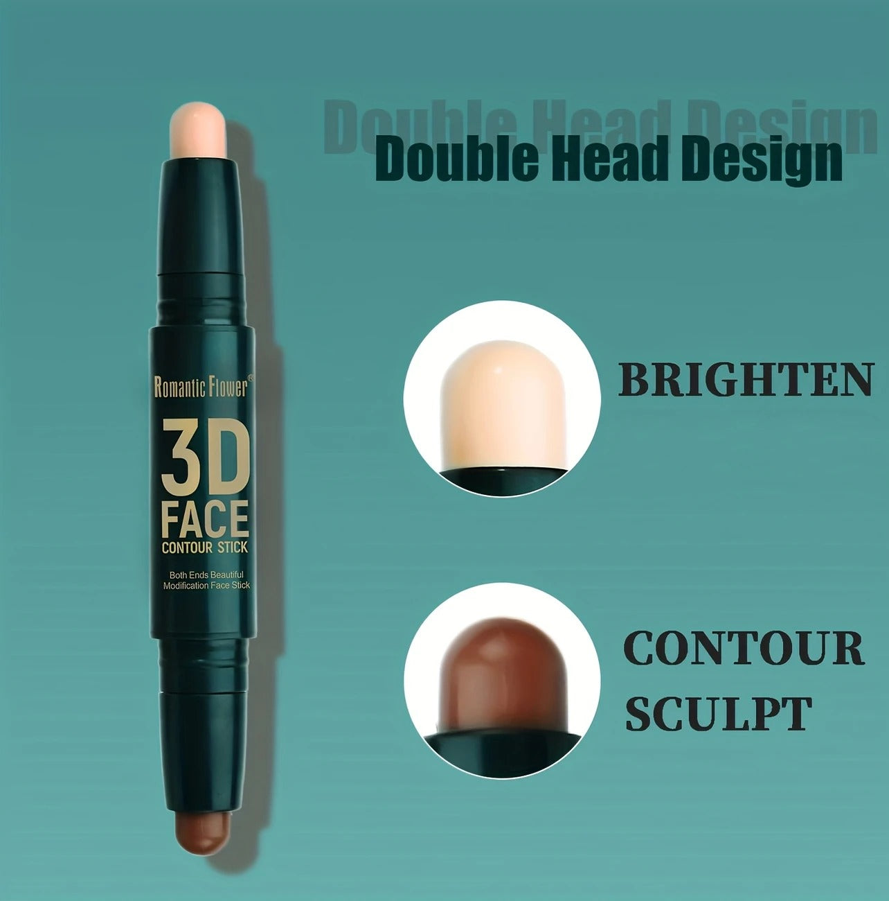
Contour Stick – Sculpt, Define & Blend with Ease
Sale priceRs.1,400.00
Regular priceRs.1,600.00
Quick shipping
Worldwide
Customer service
24/7 Live Chat
Secure payment
100% Safe


